Before a single brick is laid or a road alignment is finalized, engineers rely on accurate survey data to understand the terrain, natural features, underground conditions, and physical limits of a project site. Land, topographical and geophysical surveys are not just technical procedures.
They are essential safety steps that shape every engineering decision. Without proper surveys, even the strongest materials or best designs can fail. This is why modern projects depend heavily on engineering survey services India to deliver reliable, science-backed insights that guide safe planning and execution.
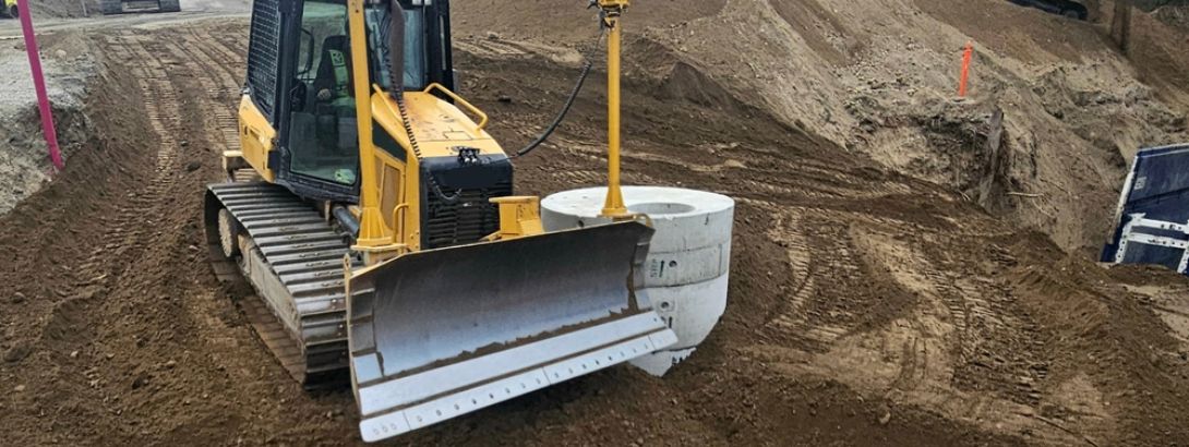
Land and ground mapping allows engineers to identify slopes, boundaries, obstacles, existing structures, and potential risks that cannot be seen with the naked eye. Whether it is a residential layout, a commercial development, a highway, a bridge, or a large public infrastructure project, survey work forms the backbone of early risk assessment.
When surveys are done thoroughly and interpreted correctly, they help avoid costly redesigns, unsafe construction decisions, and long-term structural issues.
How Land Surveys Build the Foundation of Accurate Planning
Land surveys provide the first level of clarity about a project site. They define property boundaries, highlight legal limits, identify encroachments, and set the base for all engineering measurements.
These surveys ensure that the project begins with accurate location details and prevent future disputes or planning errors. Surveyors measure the physical land in detail and translate it into accurate maps that engineers, architects, and civil planners can trust.
For companies involved in public works, private construction, or industrial development, working with a reliable civil engineering consulting firm Chennai Salem India or an experienced infrastructure consulting firm South India ensures that the land survey meets regulatory requirements.
These consulting teams help interpret survey data and ensure that foundation designs, alignment plans, and structural layouts are based on dependable information.
Land surveys play a key role in slope analysis, flood risk studies, and boundary verifications. This information safeguards the project from natural hazard zones and ensures development stays within legal and environmental limits.
Why Topographical Surveys Are Essential for Design Accuracy
While land surveys map boundaries, topographical surveys map everything that exists on and around the site. They capture the contours, elevations, surface features, vegetation, water bodies, drainage patterns, and man-made structures. This information is vitally important for site grading, road alignment, foundation design, stormwater planning, and earthwork calculations.
Topographical surveys are a core part of engineering survey topographical survey services India, especially for projects such as highways, smart cities, industrial zones, and residential townships. Engineers depend on accurate topographical maps to understand how water will flow, where cut-and-fill operations are needed, how slopes behave, and where foundations can be placed safely.
These surveys support architects in planning building orientation, structural designers in understanding soil behavior, and project managers in planning site logistics. Without them, construction teams may face unexpected ground conditions that lead to delays or unsafe design assumptions.
Geophysical Surveys in Understanding What Lies Below
Even after mapping the surface conditions, engineers also need clarity about what lies underground. This is where geophysical services India become crucial. Geophysical surveys help detect subsurface layers, rock depth, voids, groundwater zones, buried utilities, and variations in soil density. They provide a deeper understanding of the site that cannot be achieved through surface examination alone.
Techniques such as seismic refraction, electrical resistivity, ground-penetrating radar, and electromagnetic surveys offer detailed insights into the underground profile. These tools help engineers identify the safest location for foundations, the right depth for piles, and the presence of underground risks.
Geophysical surveys are particularly essential in long, linear projects such as highways, pipelines, metro rail corridors, and transmission lines. A project that depends on accurate route planning must rely on trusted geophysical survey for infrastructure projects India to avoid surprises during excavation. These surveys help prevent structural settlement, reduce excavation issues, and ensure that underground features do not compromise the project’s safety.
How Surveys Help Transportation Projects Stay Safe
Transportation infrastructure requires some of the most detailed survey work. Highways, bridges, metro rail systems, and rail lines depend on accurate ground mapping and underground profiling. These projects often span kilometers and need consistency in data across diverse terrain.
Survey data supports:
- Safe alignment selection
- Bridge pier placement
- Earthwork design
- Traffic flow planning
- Drainage and water management
This is why project developers often partner with a specialized transportation engineering consultancy India that brings together survey experts and civil engineers. Accurate surveys contribute directly to long-term safety by ensuring that roads are built on stable land, bridges stand on solid footing, and transportation loads are supported reliably.
Why Expertise and Interpretation Matter as Much as Data
Surveying tools and technology are becoming more advanced each year, but the real value comes from how the data is interpreted. An experienced civil engineering consultancy Chennai Tamil Nadu or established survey engineering team can interpret measurements in a way that produces actionable, practical insights. This human expertise helps bridge the gap between technical data and real-world design decisions.
A well interpreted survey prevents unsafe foundation placement, avoids construction on weak land zones, and ensures that the layout is optimized for safety, cost, and longevity. When survey data is combined with reliable geotechnical and design consultation, every decision becomes more grounded and risk-free.
Bringing It All Together for Safer Projects
Land, topographical, and geophysical surveys work together to create a clear picture of the project site from the surface down to the underlying geological layers. These surveys identify risks early, guide engineers with accurate measurements, and ensure that structures, roads, and infrastructure systems are built on a solid understanding of the land.
When developers collaborate with an experienced infrastructure consulting firm South India or a full service survey and engineering team, they gain a significant layer of safety and confidence. Strong survey data supports better designs, smoother execution, and long lasting construction that withstand natural and structural pressures.
Reliable surveys are not just about measurements. They are about safeguarding investments, protecting lives, and building a future where infrastructure stands secure for generations.
![]()